


Minimal rain chances will persist across both the Triad and Piedmont over the weekend with the focus for activity remaining across the High Country. Temperatures will remain seasonable for both Saturday and Sunday.
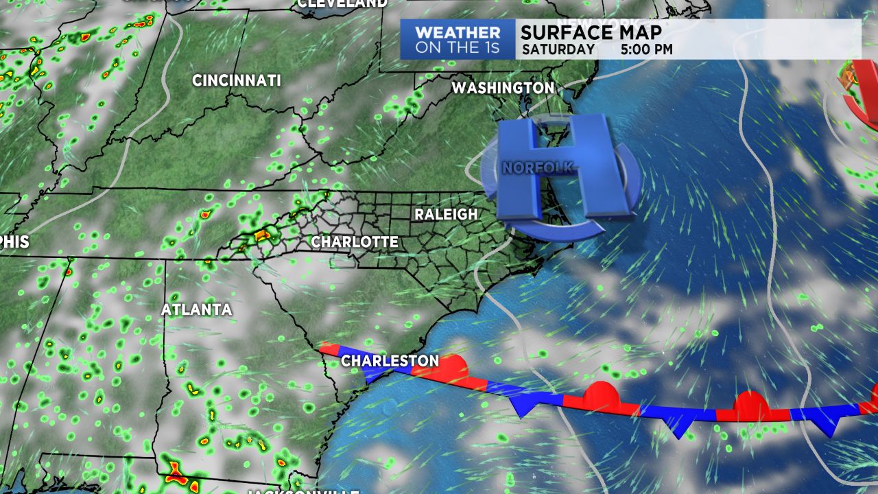
High pressure scooting eastward and eventually off the Atlantic coast by Sunday will result in an easterly to southeasterly flow. With upslope flow in place, expect the best chance scattered showers and storms to remain closest to the Tennessee border, with chances decreasing the farther east you head. Showers and storms will be hard to come by across the lower elevations over the next couple of days. Daytime highs will remain near average with temperatures topping off in the upper 80s to low 90s both Saturday and Sunday.
A cold front moving through Tuesday will bring an increasing chance for showers and storms through the first half of the work week. Drier and cooler air will move in behind the front briefly for Wednesday into Thursday before rain and storms chances spike back up to end the week as an additional disturbance moves through. No major heat is expected within the next several days with temperatures remaining at or slightly below normal.