


Despite a stray shower or storm near the High Country through late this evening, a dry and muggy overnight is set to unfold for the Triad. In fact, Monday morning lows will only fall into the lower 70s.
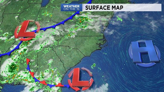
A cold front will approach the region on Monday. As a result, afternoon storms are expected to increase in coverage.
Some storms could produce damaging winds and large hail. Meanwhile, temperatures will heat into the middle 90s making Monday the hottest day of the next 7. The same cold front will fire another round of storms on Tuesday, and then pass south of the area on Wednesday. Cooler weather will arrive behind the front leading to highs in the 80s for the end of the week and likley through the upcoming weekend. A few showers may return to the Carolinas on Friday.