


A few clusters of heavy downpours and t-showers will meander through the region this evening and early tonight. Coverage will remain low for our area and most will wrap up by midnight. Afterward, look for partly cloudy and muggy weather to kick off Tuesday morning.
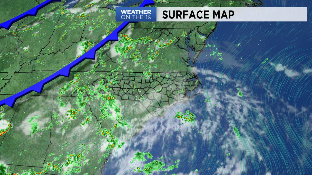
A cold front will approach the region Tuesday and then pass south by early Wednesday. Better coverage of rain and storms is expected for Tuesday. A few strong storms are possible though most will remain below severe limits. Locally heavy rainfall is not of the question for a few spots and that could lead to brief urban flooding.
Dry and slightly less humid weather is in store or Wednesday and the end of the week. That said, another round of storms is looking possible for this upcoming weekend.