


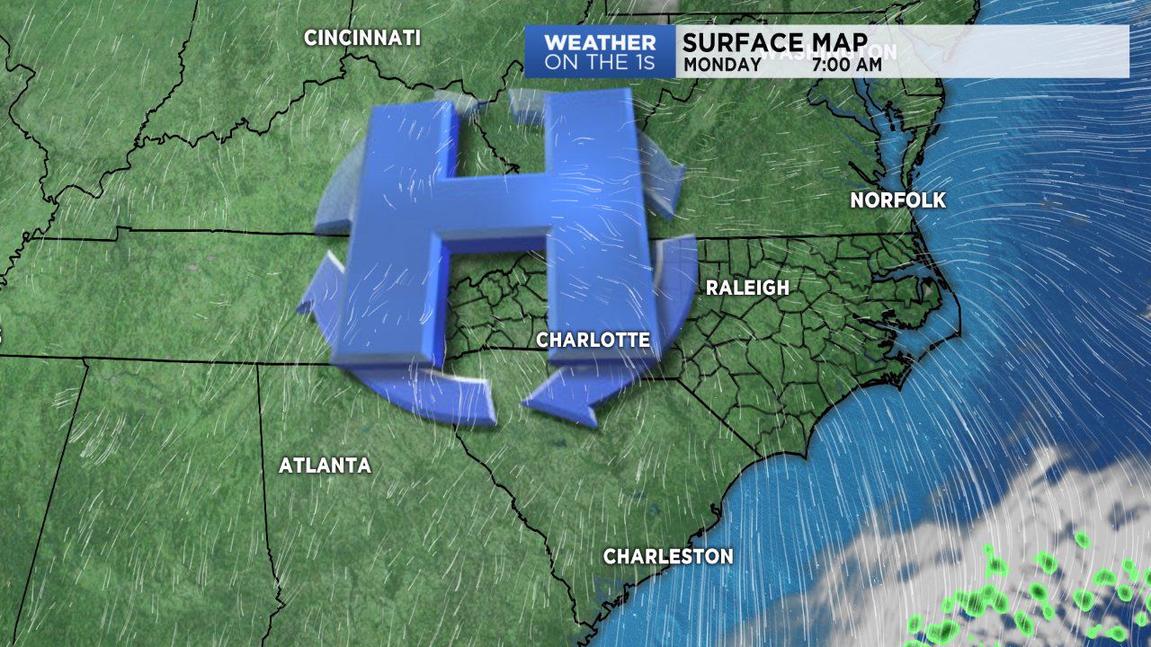
High pressure will be in control over the southeast the next several days. This will give us dry and mild conditions to start with a big warm-up by midweek.
As the high slides east of NC a warm southwesterly breeze will push temps more than ten degrees above average by mid to late-week. Then, a cold front will advance from the west with showers by late Thursday into early Friday.
Rainfall amounts at this time do not appear to be significant with less than one-tenth an inch of rain expected as the front moves out on Friday.
Mild, dry with a big warm up this week
PUBLISHED November 26, 2017 @5:43 AM